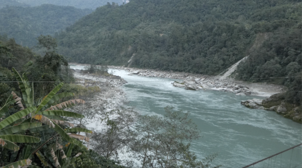
Arunachal Pradesh Chief Minister Pema Khandu voiced his concern on Wednesday regarding China’s ambitious hydropower project upstream of the Siang River in Tibet, asserting that its repercussions would extend to India and Bangladesh in the foreseeable future.
The Centre has devised strategies to mitigate the imminent risk posed by China’s construction of a massive dam on the Yarlung Tsangpo in the Tibet region, which shares a border with Arunachal Pradesh.
In a zero-hour debate within the state assembly, initiated by Congress MLA Lombo Tayeng’s plea to categorise recurring annual floods in the Siang Valley as a natural calamity, Khandu disclosed China’s proposal for a colossal 60,000 MW hydroelectric power plant on the Tsangpo River in Tibet, as outlined in their 14th five-year plan.
“We are deeply concerned about the project’s prospective ramifications,” he emphasised. “Consequently, we recently convened a high-level meeting of the Brahmaputra Board. The central government has recommended the construction of a barrage on the Siang River to safeguard against any adverse impacts stemming from Chinese activities.” Khandu disclosed that a survey for the proposed barrage is forthcoming, and once it is finalised, the central government will decide on the subsequent course of action.
During the discussion’s initiation, Tayeng highlighted the frequent alterations in the Siang River’s course, causing extensive land erosion across hundreds of thousands of hectares of cultivated land and diminishing the area of the D Ering wildlife sanctuary. “With the potential involvement of China in blocking and diverting water, depositing construction materials in the river, and unwarranted water releases upstream within their territory, failing to declare recurring floods in the Siang Valley a national calamity and implement appropriate measures could result in disastrous consequences,” Tayeng cautioned.
Responding to Tayeng’s concerns, Khandu clarified that there is no provision, whether executive or legal, for designating a recurring natural calamity as a national calamity.
“The current guidelines of the State Disaster Response Fund (SDRF) and National Disaster Response Fund (NDRF) do not encompass the declaration of a disaster as a national calamity,” Khandu added.
He further explained that the Disaster Management Act of 2005 makes no mention of a national calamity. In the event of a major disaster, Khandu pointed out that an inter-ministerial central team conducts on-site assessments in the affected areas. Based on their recommendations and findings, the National Disaster Management Authority (NDMA) allocates additional funds from the NDRF to the state.
As per reports, Chief Minister Khandu is scheduled to visit the Siang Valley today to oversee the progress of the survey work for the proposed barrage.
The Yarlung Tsangpo
The Yarlung Tsangpo river originates from Manasarovar lake and flows easterly for over 1600 km across Tibet. It then makes a southeastern bend around Namcha Barwa peak, entering India at Gelling in Arunachal Pradesh, where it is known as Siang.
The river continues for nearly 300 km through Siang, Upper Siang, and East Siang districts in Arunachal Pradesh before entering Assam, where it transforms into the Brahmaputra.
Three districts within the state, namely Siang, Upper Siang, and East Siang, through which the river traverses before entering Assam, routinely confront annual flooding during the monsoon season. Khandu revealed that the Arunachal Pradesh government submitted a proposal for erosion control and flood management on the left bank of the Siang River in the Mebo sub-division of the East Siang district to the Union Jal Shakti Ministry.
However, the ministry, in May of this year, requested the state administration to resubmit the proposal in an integrated fashion, adopting a basin or sub-basin approach that covers the majority of the rivers and their tributaries instead of proposing isolated projects in specific or arbitrary sections.


